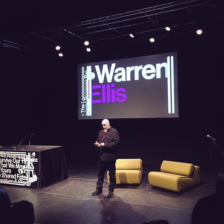
China Mapped The World In The 1400s
January 15th, 2006 | researchmaterial
It seems likely that the world and all its continents were discovered by a Chinese admiral named Zheng He, whose fleets roamed the oceans between 1405 and 1435. His exploits, which are well documented in Chinese historical records, were written about in a book which appeared in China around 1418 called “The Marvellous Visions of the Star Raftâ€.
Next week, in Beijing and London, fresh and dramatic evidence is to be revealed to bolster Zheng He’s case. It is a copy, made in 1763, of a map, dated 1418, which contains notes that substantially match the descriptions in the book…

(Via 3Quarks)


Something also interesting with regards to cartography, is that the Piri Reis World Map of 1513, shows some remarkable detail about the coastline of Antarctica – detail that can be overlaid with results from a seismic profile of Antarctica done in 1949 to show the same results.
Seeing as the ice is about one mile thick over most of Antarctica, the coastline in question (the Palmer peninsula) was almost certainly mapped before the area was covered by the ice cap, and then used as a reference for subsequent maps (including the Piri Reis). For this region (closest to South Africa), it is believed that it went through a relatively ice-free period up until around six thousand years ago, which is probably when it was mapped originally.
Cartography is considered a ‘civilized’ and complicated practice… so how is it that civilizations with the knowledge to accurately ‘map’ parts of the world existed well before historians believe even the most basic of civilizations roamed the globe?
How much information have we lost over time? Where would we be if all this old information was never lost?
[...] Warrenellis.com » China Mapped The World In The 1400s [...]
He forgot England, aparently.
Not hard, though, is it?
Bah! I say he used ‘Google Earth’ and a box of crayons….
Also Zheng He was a Muslim and an a eunuch. Interesting, eh?
http://en.wikipedia.org/wiki/Zheng_He
Hmm…does that mean I have to cut off my boys and stop drinking to be a really good cartographer? Well I suppose that’s oe more career path I no longer need consider.
Hmm…does that mean I have to cut off my boys and stop drinking to be a really good cartographer? Well I suppose that’s one more career path I no longer need consider.
Seeing as this is a copy, and thus a second-hand source, it’s hard to say that the map it was copied from -was- exactly like that. It could’ve been “fixed” during the copying. That said, I kinda want this to be right. Discoveries like these are always cool.
“Not hard, though, is it?”
Hmm? Where’d that come from?
He meant forgetting England on the map; response to previous comment. I noticed they missed Florida. No loss there, either. And apparently California left the US mainland sometime ago and came back, too. I wonder what that river is? Baja?
Man, china was awesome.
After Admiral Zheng He’s voyages, the Chinese Imperial bean counters canned the programme as being way too expensive for negligible economic benefit. That was pretty much the start of the decline of Chinese science and technology. There’s a lesson for the space programme if anyone’s looking for one.
Always dubious when it comes to copies of an original.
Does anyone else giggle when they read “brave seamen”?
The map might, or might not be genuine, but I’d like to see spectroscopic analysis of the inks – the Vinland map of longstanding controversy seems to be written on parchment of the right period, but the inks contain titanium pigments not developed until the 19th/20th Century, so I’d look to analyse this map in the same way.
Gavin Menzies and his ilk are really outstanding in their field, I’ll give them that. Zheng He did exist, and did some amazing stuff, but Menzies and his followers are a little gullible in their acceptance of all sorts of things as proof of their theories – in New Zealand, they cheerfully identified as “chinese colonial fortress built by Zheng He” a series river control stop banks buldozed into the Rakaia River banks in the 1950’s by my father’s bulldozing contractor rival, Doug Hood, to protect his holiday home from floods. They also ran around positing 14 million yearold Miocene sandstone concretions as “sixteen inch carved stone cannonballs” from wrecked junks of the grand fleet, etc.